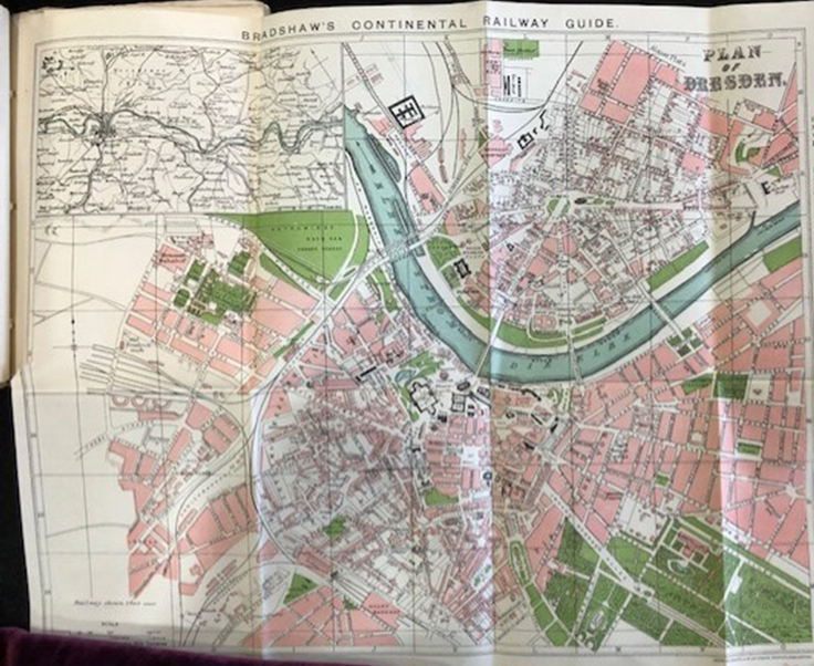
Geographic Maps
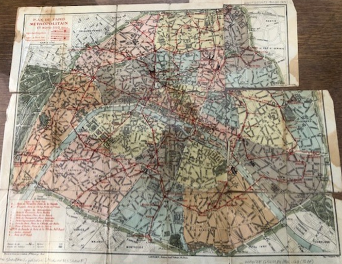
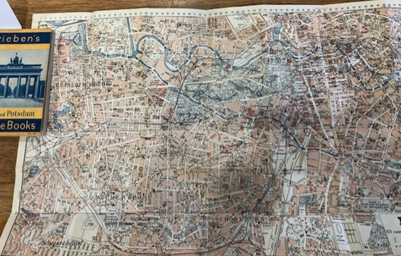
This section highlights the locations that were central to Lili Elbe’s life and journey. We have used digital tools such as Recogito and StoryMapJS to depict the key moments in time and space for Lili as presented in the narrative. Additionally, we have featured on this page historic geographic maps of cities central to Lili Elbe’s life and narrative: Dresden, Paris, Berlin, and Copenhagen.
StoryMap

This StoryMap, made possible by KnightLab’s open-source StoryMapJS tool, goes through Lili’s travels in the form of a narrative. Move with Lili throughout Europe as you interact with historical maps, a contemporary map, and other key photographs and resources that illustrate Lili’s travels.
Annotated Map

While the StoryMap is used to create a narrative experience of Lili’s travels, this map is used to annotate the locations in the text where Lili traveled throughout the narrative. Using Recogito, an annotation tool created by the Pelagios network, you can see the countries, cities, and landmarks that Lili encountered. By annotating words in the text (such as “Elbe”), this tool allowed us to create a connection between the places in the narrative and a world map. There are two options for accessing this connection. Through the Map View, you can click on the green location points and see where the place is referenced in the text. Another option is looking through the Document View, finding the green place tags, and seeing where they show up on the map. As you will notice, there are some places that have not been tagged. These places will be featured in a separate map showing the places that Lili referenced but did not necessarily travel through. As of 2023, we would like to note that some places might be tagged but not have a location on the map as we wait for updates to Recogito’s gazeteers.
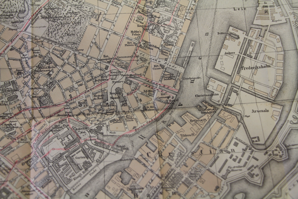
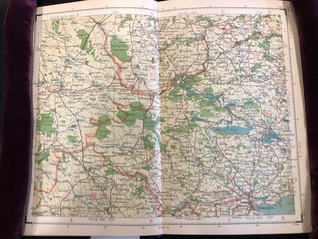
Historic Maps